
Kg Air Panas topographic map
Interactive map
Click on the map to display elevation.
About this map
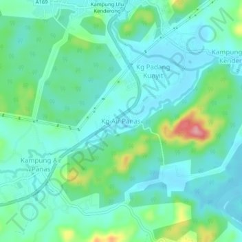
Name: Kg Air Panas topographic map, elevation, terrain.
Location: Kg Air Panas, Hulu Perak District, Perak, 33300, Malaysia (5.38613 101.10643 5.42613 101.14643)
Average elevation: 141 m
Minimum elevation: 111 m
Maximum elevation: 243 m