
Rutis topographic map
Interactive map
Click on the map to display elevation.
About this map
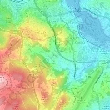
Name: Rutis topographic map, elevation, terrain.
Location: Rutis, Culleredo, La Coruña, Galicia, 15174, España (43.29575 -8.41277 43.33575 -8.37277)
Average elevation: 97 m
Minimum elevation: -1 m
Maximum elevation: 261 m
Other topographic maps
Click on a map to view its topography, its elevation and its terrain.