
Ponta do Campo topographic map
Interactive map
Click on the map to display elevation.
About this map
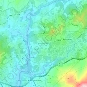
Name: Ponta do Campo topographic map, elevation, terrain.
Location: Ponta do Campo, Gondar, Guimarães, Braga, 4835-551, Portugal (41.40524 -8.38861 41.44524 -8.34861)
Average elevation: 148 m
Minimum elevation: 83 m
Maximum elevation: 394 m
Other topographic maps
Click on a map to view its topography, its elevation and its terrain.