
Wann topographic map
Interactive map
Click on the map to display elevation.
About this map
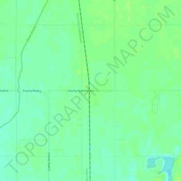
Name: Wann topographic map, elevation, terrain.
Location: Wann, Saunders County, Nebraska, États-Unis d'Amérique (41.12667 -96.37585 41.16667 -96.33585)
Average elevation: 331 m
Minimum elevation: 324 m
Maximum elevation: 336 m