
Bressaucourt topographic map
Interactive map
Click on the map to display elevation.
About this map
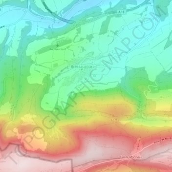
Name: Bressaucourt topographic map, elevation, terrain.
Average elevation: 632 m
Minimum elevation: 442 m
Maximum elevation: 916 m
Other topographic maps
Click on a map to view its topography, its elevation and its terrain.
Fontenais
Suisse > Jura > District de Porrentruy > Fontenais
Fontenais, District de Porrentruy, Jura, Suisse
Average elevation: 593 m