
Thank you for supporting this site ❤️
Make a donation
Make a donation
Gurney Bay topographic map
Click on the map to display elevation.
Thank you for supporting this site ❤️
Make a donation
Make a donation
About this map
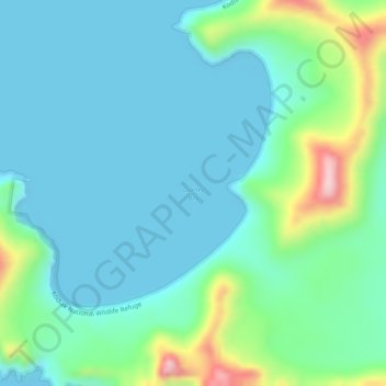
Name: Gurney Bay topographic map, elevation, terrain.
Location: Gurney Bay, Kodiak Island Borough, Alaska, United States (57.29439 -154.75505 57.29449 -154.75495)
Average elevation: 59 m
Minimum elevation: 0 m
Maximum elevation: 285 m
Thank you for supporting this site ❤️
Make a donation
Make a donation
Other topographic maps
Click on a map to view its topography, its elevation and its terrain.
Thank you for supporting this site ❤️
Make a donation
Make a donation
Thank you for supporting this site ❤️
Make a donation
Make a donation