
Thank you for supporting this site ❤️
Make a donation
Make a donation
Beaumont topographic map
Click on the map to display elevation.
Thank you for supporting this site ❤️
Make a donation
Make a donation
About this map
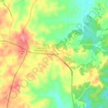
Name: Beaumont topographic map, elevation, terrain.
Location: Beaumont, Metcalfe County, Kentucky, 42124, United States (36.85561 -85.67191 36.89561 -85.63191)
Average elevation: 304 m
Minimum elevation: 252 m
Maximum elevation: 358 m
Thank you for supporting this site ❤️
Make a donation
Make a donation