
Bir Moghrein topographic map
Interactive map
Click on the map to display elevation.
About this map
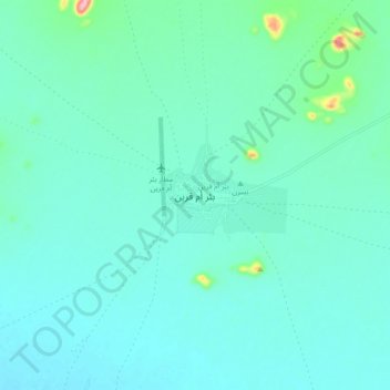
Name: Bir Moghrein topographic map, elevation, terrain.
Location: Bir Moghrein, Tiris Zemmour, Mauritania (25.19114 -11.62101 25.27114 -11.54101)
Average elevation: 369 m
Minimum elevation: 348 m
Maximum elevation: 492 m