
Thank you for supporting this site ❤️
Make a donation
Make a donation
Chintheche topographic map
Click on the map to display elevation.
Thank you for supporting this site ❤️
Make a donation
Make a donation
About this map
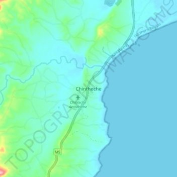
Name: Chintheche topographic map, elevation, terrain.
Location: Chintheche, Nkhata Bay, Northern Region, Malawi, Malawi (-11.87138 34.12930 -11.79138 34.20930)
Average elevation: 496 m
Minimum elevation: 475 m
Maximum elevation: 642 m
Thank you for supporting this site ❤️
Make a donation
Make a donation