
Thank you for supporting this site ❤️
Make a donation
Make a donation
Hardenberg topographic map
Click on the map to display elevation.
Thank you for supporting this site ❤️
Make a donation
Make a donation
Hardenberg
Die Stadt Hardenberg entstand als Nienstede um eine nach dem Jahr 754 erbaute Kapelle und eine 1089 auf eine kleine Anhöhe entlang der Vechte erbaute Burg Hardenberg.
Thank you for supporting this site ❤️
Make a donation
Make a donation
About this map
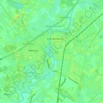
Name: Hardenberg topographic map, elevation, terrain.
Location: Hardenberg, Oberyssel, Niederlande (52.54396 6.57724 52.59349 6.65833)
Average elevation: 10 m
Minimum elevation: 3 m
Maximum elevation: 15 m
Thank you for supporting this site ❤️
Make a donation
Make a donation
Other topographic maps
Click on a map to view its topography, its elevation and its terrain.