
Ferrol topographic map
Click on the map to display elevation.
About this map
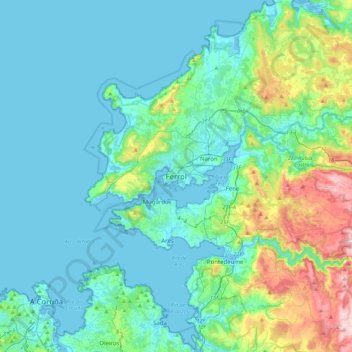
Name: Ferrol topographic map, elevation, terrain.
Location: Ferrol, A Coruña, Galicia, 15402, Spain (43.32469 -8.39316 43.64469 -8.07316)
Average elevation: 98 m
Minimum elevation: -4 m
Maximum elevation: 575 m