
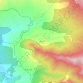
Hendou topographic map
Interactive map
Click on the map to display elevation.
About this map
Name: Hendou topographic map, elevation, terrain.
Location: Hendou, Azazga, Daïra Azazga, Tizi Ouzou, 15300, Algérie (36.76207 4.35969 36.80207 4.39969)
Average elevation: 421 m
Minimum elevation: 190 m
Maximum elevation: 714 m