
Thank you for supporting this site ❤️
Make a donation
Make a donation
Gould topographic map
Click on the map to display elevation.
Thank you for supporting this site ❤️
Make a donation
Make a donation
About this map
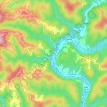
Name: Gould topographic map, elevation, terrain.
Location: Gould, Clay County, West Virginia, United States (38.51038 -81.06205 38.55038 -81.02205)
Average elevation: 323 m
Minimum elevation: 217 m
Maximum elevation: 456 m
Thank you for supporting this site ❤️
Make a donation
Make a donation