
Iritty topographic map
Interactive map
Click on the map to display elevation.
About this map
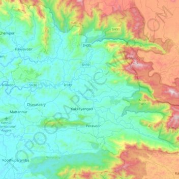
Name: Iritty topographic map, elevation, terrain.
Location: Iritty, Kannur district, Kerala, Inde (11.84211 75.55582 12.11218 75.93849)
Average elevation: 345 m
Minimum elevation: 2 m
Maximum elevation: 1,363 m