
Thank you for supporting this site ❤️
Make a donation
Make a donation
Crondall topographic map
Click on the map to display elevation.
Thank you for supporting this site ❤️
Make a donation
Make a donation
About this map
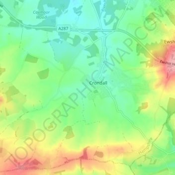
Name: Crondall topographic map, elevation, terrain.
Location: Crondall, Hart, Hampshire, England, United Kingdom (51.20994 -0.90027 51.25233 -0.82848)
Average elevation: 113 m
Minimum elevation: 71 m
Maximum elevation: 186 m
Thank you for supporting this site ❤️
Make a donation
Make a donation