
Thank you for supporting this site ❤️
Make a donation
Make a donation
Fairfield Township topographic map
Click on the map to display elevation.
Thank you for supporting this site ❤️
Make a donation
Make a donation
About this map
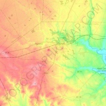
Name: Fairfield Township topographic map, elevation, terrain.
Location: Fairfield Township, Highland County, Ohio, United States (39.28122 -83.66860 39.37876 -83.45685)
Average elevation: 320 m
Minimum elevation: 250 m
Maximum elevation: 375 m
Thank you for supporting this site ❤️
Make a donation
Make a donation