
Thank you for supporting this site ❤️
Make a donation
Make a donation
Sedudo Waterfall topographic map
Click on the map to display elevation.
Thank you for supporting this site ❤️
Make a donation
Make a donation
About this map
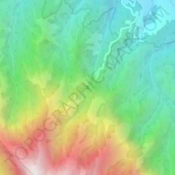
Name: Sedudo Waterfall topographic map, elevation, terrain.
Location: Sedudo Waterfall, Nganjuk, East Java, Java, 64475, Indonesia (-7.78314 111.75646 -7.78304 111.75656)
Average elevation: 1,414 m
Minimum elevation: 937 m
Maximum elevation: 2,174 m
Thank you for supporting this site ❤️
Make a donation
Make a donation
Other topographic maps
Click on a map to view its topography, its elevation and its terrain.