
Thank you for supporting this site ❤️
Make a donation
Make a donation
Santa Lucia topographic map
Click on the map to display elevation.
Thank you for supporting this site ❤️
Make a donation
Make a donation
About this map
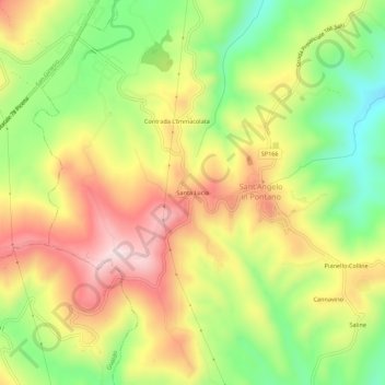
Name: Santa Lucia topographic map, elevation, terrain.
Location: Santa Lucia, Sant'Angelo in Pontano, Macerata, Italy (43.07900 13.36791 43.11900 13.40791)
Average elevation: 388 m
Minimum elevation: 202 m
Maximum elevation: 578 m
Thank you for supporting this site ❤️
Make a donation
Make a donation