
Thank you for supporting this site ❤️
Make a donation
Make a donation
Maskwacis topographic map
Click on the map to display elevation.
Thank you for supporting this site ❤️
Make a donation
Make a donation
About this map
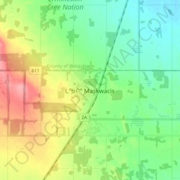
Name: Maskwacis topographic map, elevation, terrain.
Location: Maskwacis, Ponoka County, Alberta, T0C 1N0, Canada (52.79455 -113.49068 52.87455 -113.41068)
Average elevation: 802 m
Minimum elevation: 768 m
Maximum elevation: 864 m
Thank you for supporting this site ❤️
Make a donation
Make a donation
Other topographic maps
Click on a map to view its topography, its elevation and its terrain.