
South 24 Parganas topographic map
Interactive map
Click on the map to display elevation.
About this map
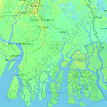
Name: South 24 Parganas topographic map, elevation, terrain.
Location: South 24 Parganas, Westbengalen, Indien (21.54219 88.03383 22.62001 89.09405)
Average elevation: 3 m
Minimum elevation: -3 m
Maximum elevation: 20 m
Other topographic maps
Click on a map to view its topography, its elevation and its terrain.