
Thank you for supporting this site ❤️
Make a donation
Make a donation
Kåfjorden topographic map
Click on the map to display elevation.
Thank you for supporting this site ❤️
Make a donation
Make a donation
About this map
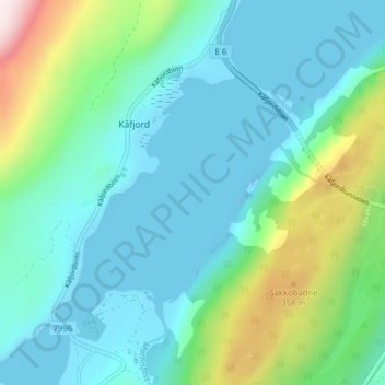
Name: Kåfjorden topographic map, elevation, terrain.
Location: Kåfjorden, Kåfjord, Alta, Troms og Finnmark, 9541, Norge (69.93266 23.04010 69.93276 23.04020)
Average elevation: 116 m
Minimum elevation: -20 m
Maximum elevation: 561 m
Thank you for supporting this site ❤️
Make a donation
Make a donation