
Thank you for supporting this site ❤️
Make a donation
Make a donation
Bomont topographic map
Click on the map to display elevation.
Thank you for supporting this site ❤️
Make a donation
Make a donation
About this map
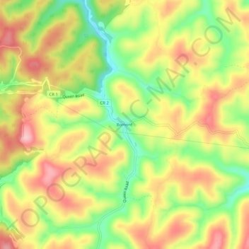
Name: Bomont topographic map, elevation, terrain.
Location: Bomont, Clay County, West Virginia, 25030, United States (38.42982 -81.25234 38.46982 -81.21234)
Average elevation: 326 m
Minimum elevation: 234 m
Maximum elevation: 407 m
Thank you for supporting this site ❤️
Make a donation
Make a donation