
Illebølle topographic map
Interactive map
Click on the map to display elevation.
About this map
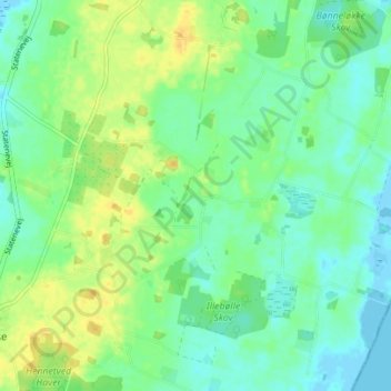
Name: Illebølle topographic map, elevation, terrain.
Location: Illebølle, Langeland Kommune, Region Süddänemark, Dänemark (54.85676 10.74624 54.89676 10.78624)
Average elevation: 10 m
Minimum elevation: -5 m
Maximum elevation: 24 m