
Thank you for supporting this site ❤️
Make a donation
Make a donation
Fort Towson topographic map
Click on the map to display elevation.
Thank you for supporting this site ❤️
Make a donation
Make a donation
About this map
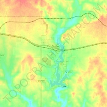
Name: Fort Towson topographic map, elevation, terrain.
Location: Fort Towson, Choctaw County, Oklahoma, United States (33.98859 -95.34791 34.04098 -95.25682)
Average elevation: 144 m
Minimum elevation: 115 m
Maximum elevation: 171 m
Thank you for supporting this site ❤️
Make a donation
Make a donation
Other topographic maps
Click on a map to view its topography, its elevation and its terrain.
Thank you for supporting this site ❤️
Make a donation
Make a donation
Thank you for supporting this site ❤️
Make a donation
Make a donation