
Maudaha topographic map
Interactive map
Click on the map to display elevation.
About this map
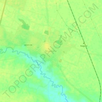
Name: Maudaha topographic map, elevation, terrain.
Location: Maudaha, Hamirpur District, Uttar Pradesh, India (25.66325 80.09477 25.70325 80.13477)
Average elevation: 121 m
Minimum elevation: 109 m
Maximum elevation: 126 m