
Thank you for supporting this site ❤️
Make a donation
Make a donation
New Madison topographic map
Click on the map to display elevation.
Thank you for supporting this site ❤️
Make a donation
Make a donation
About this map
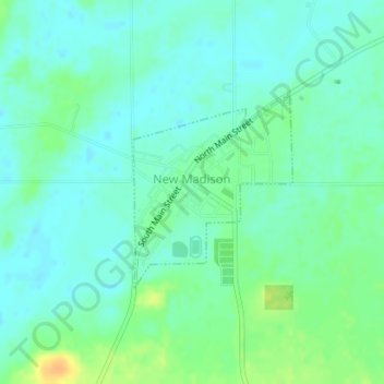
Name: New Madison topographic map, elevation, terrain.
Location: New Madison, Darke County, Ohio, United States (39.96007 -84.71455 39.97374 -84.69985)
Average elevation: 337 m
Minimum elevation: 328 m
Maximum elevation: 359 m
Thank you for supporting this site ❤️
Make a donation
Make a donation
Other topographic maps
Click on a map to view its topography, its elevation and its terrain.