
Thank you for supporting this site ❤️
Make a donation
Make a donation
Saint Omer topographic map
Click on the map to display elevation.
Thank you for supporting this site ❤️
Make a donation
Make a donation
About this map
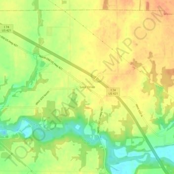
Name: Saint Omer topographic map, elevation, terrain.
Location: Saint Omer, Decatur County, Indiana, 47272, United States (39.41560 -85.61581 39.45560 -85.57581)
Average elevation: 266 m
Minimum elevation: 240 m
Maximum elevation: 284 m
Thank you for supporting this site ❤️
Make a donation
Make a donation
Other topographic maps
Click on a map to view its topography, its elevation and its terrain.