
Thank you for supporting this site ❤️
Make a donation
Make a donation
Lyster topographic map
Click on the map to display elevation.
Thank you for supporting this site ❤️
Make a donation
Make a donation
About this map
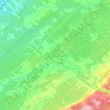
Name: Lyster topographic map, elevation, terrain.
Location: Lyster, L'Érable, Centre-du-Québec, Quebec, G0S 1V0, Canada (46.31400 -71.74133 46.45167 -71.47898)
Average elevation: 145 m
Minimum elevation: 100 m
Maximum elevation: 286 m
Thank you for supporting this site ❤️
Make a donation
Make a donation