
Oued Zat topographic map
Interactive map
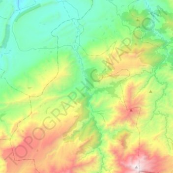
Click on the map to display elevation.
About this map
Name: Oued Zat topographic map, elevation, terrain.
Average elevation: 1,620 m
Minimum elevation: 730 m
Maximum elevation: 3,559 m
Other topographic maps
Click on a map to view its topography, its elevation and its terrain.
Oued Taouma
Maroc > cercle de Touama > Tamaguert
Oued Taouma, Tamaguert, caïdat de Touama, cercle de Touama, Province d'Al Haouz, Marrakech-Safi, Maroc
Average elevation: 899 m