
Lausitzer Gebirge topographic map
Interactive map
Click on the map to display elevation.
About this map
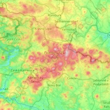
Name: Lausitzer Gebirge topographic map, elevation, terrain.
Location: Lausitzer Gebirge, Aussiger Region, Nordosten, Tschechien (50.76026 14.41042 50.92064 14.89429)
Average elevation: 391 m
Minimum elevation: 200 m
Maximum elevation: 781 m