
Søndenbro topographic map
Interactive map
Click on the map to display elevation.
About this map
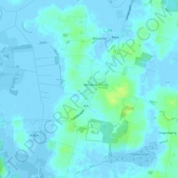
Name: Søndenbro topographic map, elevation, terrain.
Location: Søndenbro, Langeland Kommune, Region Süddänemark, Dänemark (54.75345 10.70514 54.75707 10.71014)
Average elevation: 2 m
Minimum elevation: -7 m
Maximum elevation: 15 m