
Thank you for supporting this site ❤️
Make a donation
Make a donation
Galion topographic map
Click on the map to display elevation.
Thank you for supporting this site ❤️
Make a donation
Make a donation
About this map
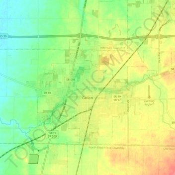
Name: Galion topographic map, elevation, terrain.
Location: Galion, Crawford County, Ohio, 44833, United States (40.70736 -82.82027 40.76963 -82.71348)
Average elevation: 351 m
Minimum elevation: 323 m
Maximum elevation: 385 m
Thank you for supporting this site ❤️
Make a donation
Make a donation