
Canales topographic map
Interactive map
Click on the map to display elevation.
About this map
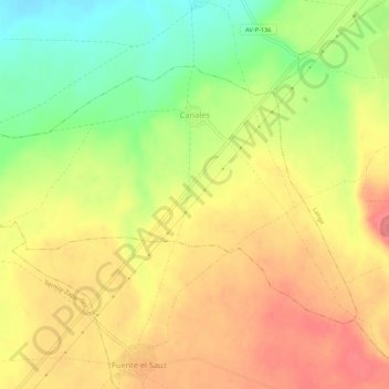
Name: Canales topographic map, elevation, terrain.
Location: Canales, La Moraña, Ávila, Castile and León, Spain (40.98179 -4.93243 41.00843 -4.87913)
Average elevation: 862 m
Minimum elevation: 820 m
Maximum elevation: 894 m