
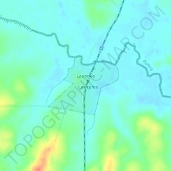
Laureles topographic map
Interactive map
Click on the map to display elevation.
About this map
Name: Laureles topographic map, elevation, terrain.
Location: Laureles, Tacuarembó, 45020, Uruguay (-31.36817 -55.88013 -31.35884 -55.86701)
Average elevation: 143 m
Minimum elevation: 132 m
Maximum elevation: 180 m