
San Antonio topographic map
Interactive map
Click on the map to display elevation.
About this map
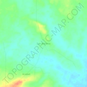
Name: San Antonio topographic map, elevation, terrain.
Location: San Antonio, Distrito Freites, Estado Anzoátegui, Venezuela (9.18111 -64.19153 9.22111 -64.15153)
Average elevation: 237 m
Minimum elevation: 223 m
Maximum elevation: 269 m