
Walton Hills topographic map
Interactive map
Click on the map to display elevation.
About this map
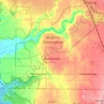
Name: Walton Hills topographic map, elevation, terrain.
Location: Walton Hills, Cuyahoga County, Ohio, United States (41.35026 -81.58567 41.38746 -81.51772)
Average elevation: 265 m
Minimum elevation: 187 m
Maximum elevation: 324 m