
Thank you for supporting this site ❤️
Make a donation
Make a donation
Argnod topographic map
Click on the map to display elevation.
Thank you for supporting this site ❤️
Make a donation
Make a donation
About this map
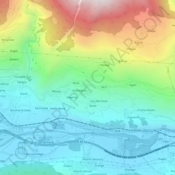
Name: Argnod topographic map, elevation, terrain.
Location: Argnod, Quart, Valle d'Aosta, 01102, Italia (45.72954 7.39584 45.76954 7.43584)
Average elevation: 929 m
Minimum elevation: 524 m
Maximum elevation: 1,894 m
Thank you for supporting this site ❤️
Make a donation
Make a donation