
Thank you for supporting this site ❤️
Make a donation
Make a donation
Lemel topographic map
Click on the map to display elevation.
Thank you for supporting this site ❤️
Make a donation
Make a donation
About this map
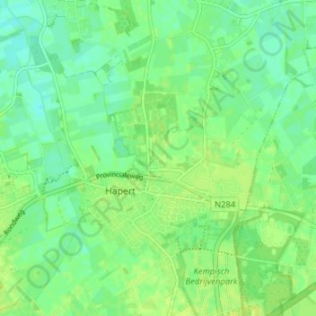
Name: Lemel topographic map, elevation, terrain.
Location: Lemel, Hapert, Bladel, Noord-Brabant, Nederland, 5527, Nederland (51.35505 5.23950 51.39505 5.27950)
Average elevation: 28 m
Minimum elevation: 21 m
Maximum elevation: 34 m
Thank you for supporting this site ❤️
Make a donation
Make a donation