
Thank you for supporting this site ❤️
Make a donation
Make a donation
Arar topographic map
Click on the map to display elevation.
Thank you for supporting this site ❤️
Make a donation
Make a donation
About this map
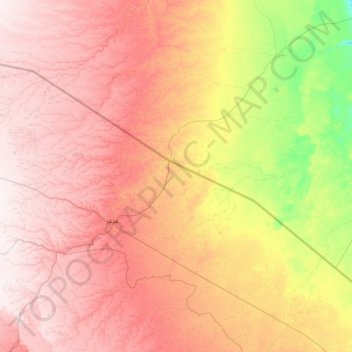
Name: Arar topographic map, elevation, terrain.
Location: Arar, Northern Borders Province, 73241, Saudi Arabia (30.54625 39.55570 31.99403 42.21600)
Average elevation: 503 m
Minimum elevation: 240 m
Maximum elevation: 807 m
Thank you for supporting this site ❤️
Make a donation
Make a donation
Other topographic maps
Click on a map to view its topography, its elevation and its terrain.
Thank you for supporting this site ❤️
Make a donation
Make a donation
Thank you for supporting this site ❤️
Make a donation
Make a donation