
Thank you for supporting this site ❤️
Make a donation
Make a donation
Kuap topographic map
Click on the map to display elevation.
Thank you for supporting this site ❤️
Make a donation
Make a donation
About this map
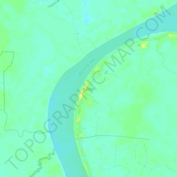
Name: Kuap topographic map, elevation, terrain.
Location: Kuap, Pemayung, Batang Hari, Jambi, Sumatra, Indonesia (-1.60290 103.30485 -1.56290 103.34485)
Average elevation: 15 m
Minimum elevation: 8 m
Maximum elevation: 27 m
Thank you for supporting this site ❤️
Make a donation
Make a donation
Other topographic maps
Click on a map to view its topography, its elevation and its terrain.