
Rahaka topographic map
Click on the map to display elevation.
About this map
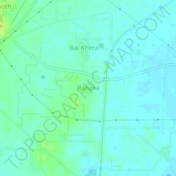
Name: Rahaka topographic map, elevation, terrain.
Location: Rahaka, Haryana, India (28.26086 77.16720 28.26301 77.16981)
Average elevation: 198 m
Minimum elevation: 194 m
Maximum elevation: 208 m
Other topographic maps
Click on a map to view its topography, its elevation and its terrain.
Narnaul
Narnaul is located at 28°02′N 76°07′E / 28.04°N 76.11°E / 28.04; 76.11. It has an average elevation of 300 meters (977 feet). The district is rich in mineral resources such as iron ore, copper ore, beryl, tourmaline, muscovite, biotite, albite, calcite, and quartz.
Average elevation: 318 m