
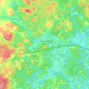
Raymond topographic map
Interactive map
Click on the map to display elevation.
About this map
Name: Raymond topographic map, elevation, terrain.
Location: Raymond, Rockingham County, New Hampshire, 03077, USA (42.98459 -71.26764 43.07998 -71.13083)
Average elevation: 80 m
Minimum elevation: 37 m
Maximum elevation: 181 m