
East Sandwich topographic map
Interactive map
Click on the map to display elevation.
About this map
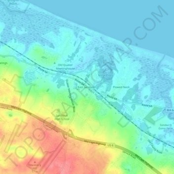
Name: East Sandwich topographic map, elevation, terrain.
Location: East Sandwich, Barnstable County, Massachusetts, 02537, USA (41.72177 -70.47169 41.76177 -70.43169)
Average elevation: 22 m
Minimum elevation: -3 m
Maximum elevation: 81 m