
Mill Run topographic map
Click on the map to display elevation.
About this map
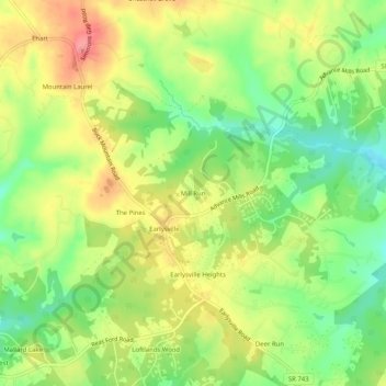
Name: Mill Run topographic map, elevation, terrain.
Location: Mill Run, Albemarle County, Virginia, 22936, United States (38.14208 -78.49890 38.18208 -78.45890)
Average elevation: 177 m
Minimum elevation: 134 m
Maximum elevation: 222 m