
Monthouet topographic map
Interactive map
Click on the map to display elevation.
About this map
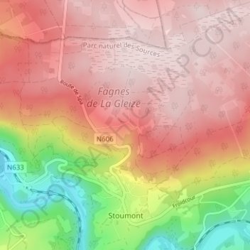
Name: Monthouet topographic map, elevation, terrain.
Location: Monthouet, Stoumont, Liège, Wallonie, 4987, Belgique (50.40141 5.78822 50.44141 5.82822)
Average elevation: 425 m
Minimum elevation: 181 m
Maximum elevation: 565 m