
Thank you for supporting this site ❤️
Make a donation
Make a donation
Panti topographic map
Click on the map to display elevation.
Thank you for supporting this site ❤️
Make a donation
Make a donation
About this map
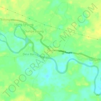
Name: Panti topographic map, elevation, terrain.
Location: Panti, Sarolangun, Jambi, Sumatra, Indonesia (-2.32378 102.62782 -2.28378 102.66782)
Average elevation: 43 m
Minimum elevation: 32 m
Maximum elevation: 52 m
Thank you for supporting this site ❤️
Make a donation
Make a donation
Other topographic maps
Click on a map to view its topography, its elevation and its terrain.