
Thank you for supporting this site ❤️
Make a donation
Make a donation
Jampang Kulon topographic map
Click on the map to display elevation.
Thank you for supporting this site ❤️
Make a donation
Make a donation
About this map
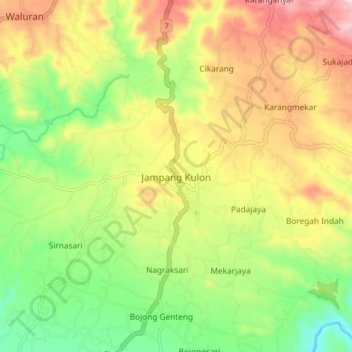
Name: Jampang Kulon topographic map, elevation, terrain.
Location: Jampang Kulon, Sukabumi, West Java, Java, 43178, Indonesia (-7.29667 106.58525 -7.21667 106.66525)
Average elevation: 297 m
Minimum elevation: 141 m
Maximum elevation: 487 m
Thank you for supporting this site ❤️
Make a donation
Make a donation