
Thank you for supporting this site ❤️
Make a donation
Make a donation
Ngawen topographic map
Click on the map to display elevation.
Thank you for supporting this site ❤️
Make a donation
Make a donation
About this map
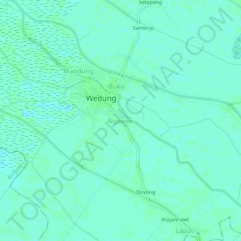
Name: Ngawen topographic map, elevation, terrain.
Location: Ngawen, Wedung, Demak, Central Java, Java, Indonesia (-6.82171 110.59554 -6.78171 110.63554)
Average elevation: 3 m
Minimum elevation: 0 m
Maximum elevation: 5 m
Thank you for supporting this site ❤️
Make a donation
Make a donation
Other topographic maps
Click on a map to view its topography, its elevation and its terrain.