
Krokkleiva topographic map
Interactive map
Click on the map to display elevation.
About this map
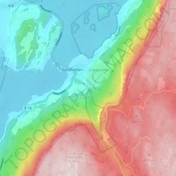
Name: Krokkleiva topographic map, elevation, terrain.
Location: Krokkleiva, Sundvollen, Hole, Viken, 3531, Noorwegen (60.03835 10.29418 60.07835 10.33418)
Average elevation: 261 m
Minimum elevation: 60 m
Maximum elevation: 533 m