
Azmoos topographic map
Interactive map
Click on the map to display elevation.
About this map
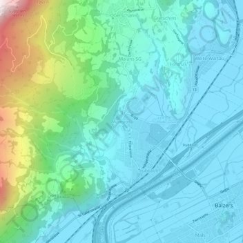
Name: Azmoos topographic map, elevation, terrain.
Location: Azmoos, Wartau, Wahlkreis Werdenberg, Saint-Gall, 9478, Suisse (47.06089 9.45549 47.10089 9.49549)
Average elevation: 674 m
Minimum elevation: 465 m
Maximum elevation: 1,549 m